Maps Integration
In Rukovoditel, you can display addresses and routes on maps. Using the built-in map editor, you can select an area on the map, draw a route, or put a marker. Currently supported: Google Maps and OpenStreet Maps.
OpenStreet Maps
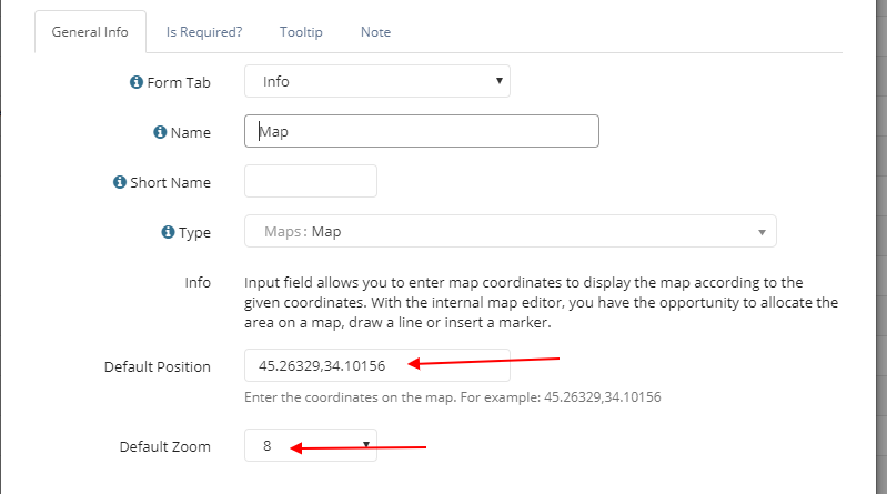
To add a map to any entity, create a new field type "Map". This field type works with the OpenStreet Maps map. In the field settings, specify the default coordinates and scale for the map.
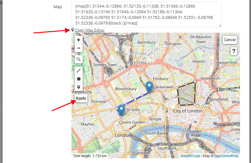
In the record form, this type of field is displayed as a map editor, where you manually add the necessary objects. You can mark a point on the map, select an area, or draw a route.
See an example of how the field works in our video review:
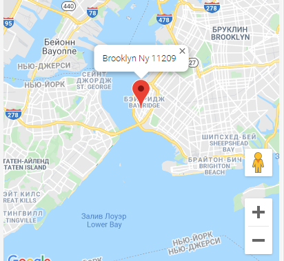
Google Map
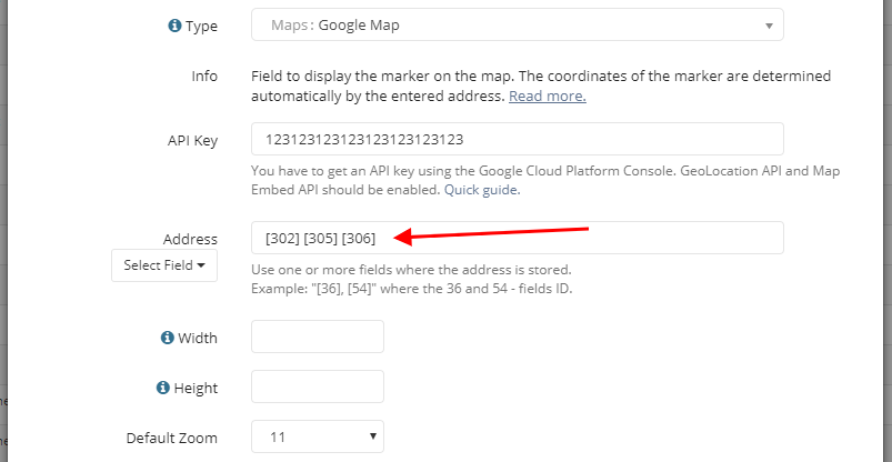
The "Google Map" field type is provided for automatically determining coordinates based on the entered address and displaying the marker on the map. In the field settings, in the "Address" option, specify the field where the address is stored, for which the marker will be displayed on the map. You can specify several fields where address is stored.
Google Map Directions
With this type of field, you can display multiple markers at the same time at the specified coordinates. In the field settings, in the "Address" option from a new line, specify the fields where addresses are stored.
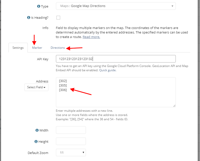
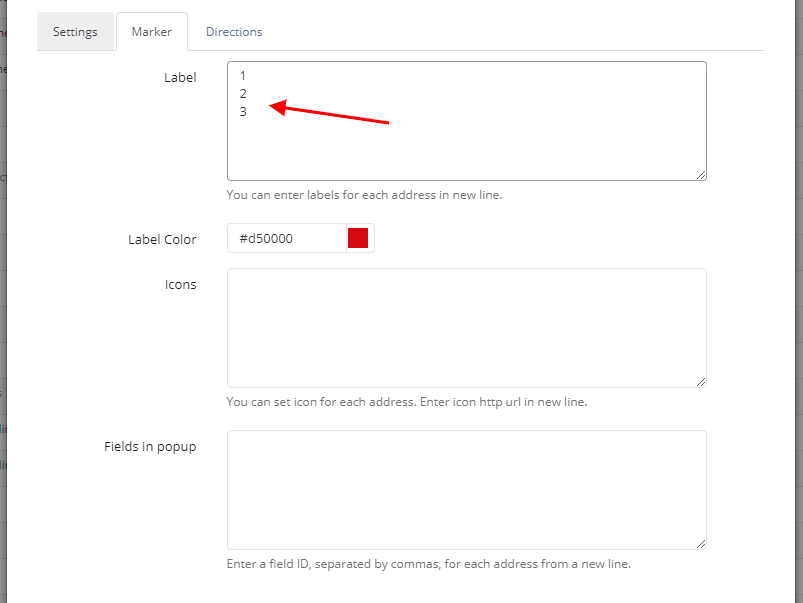
On the Marker tab, configure the labels for each marker and the fields that will appear in the pop-up window when you hover over the marker.
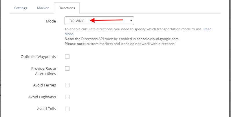
To build the route between addresses, select the mode on the Directions tab.
Please note: you can adjust the position of the marker on the map by simply moving it.